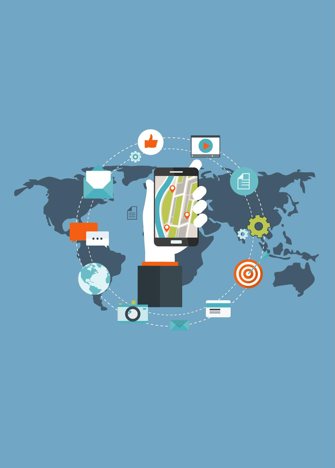
Transform data into maps and actionable information
Our Essence is Based on Three Principles
Information
Mapping
Analysis
Services
SIGISDAC improves communication, efficiency, and overall decision making process.
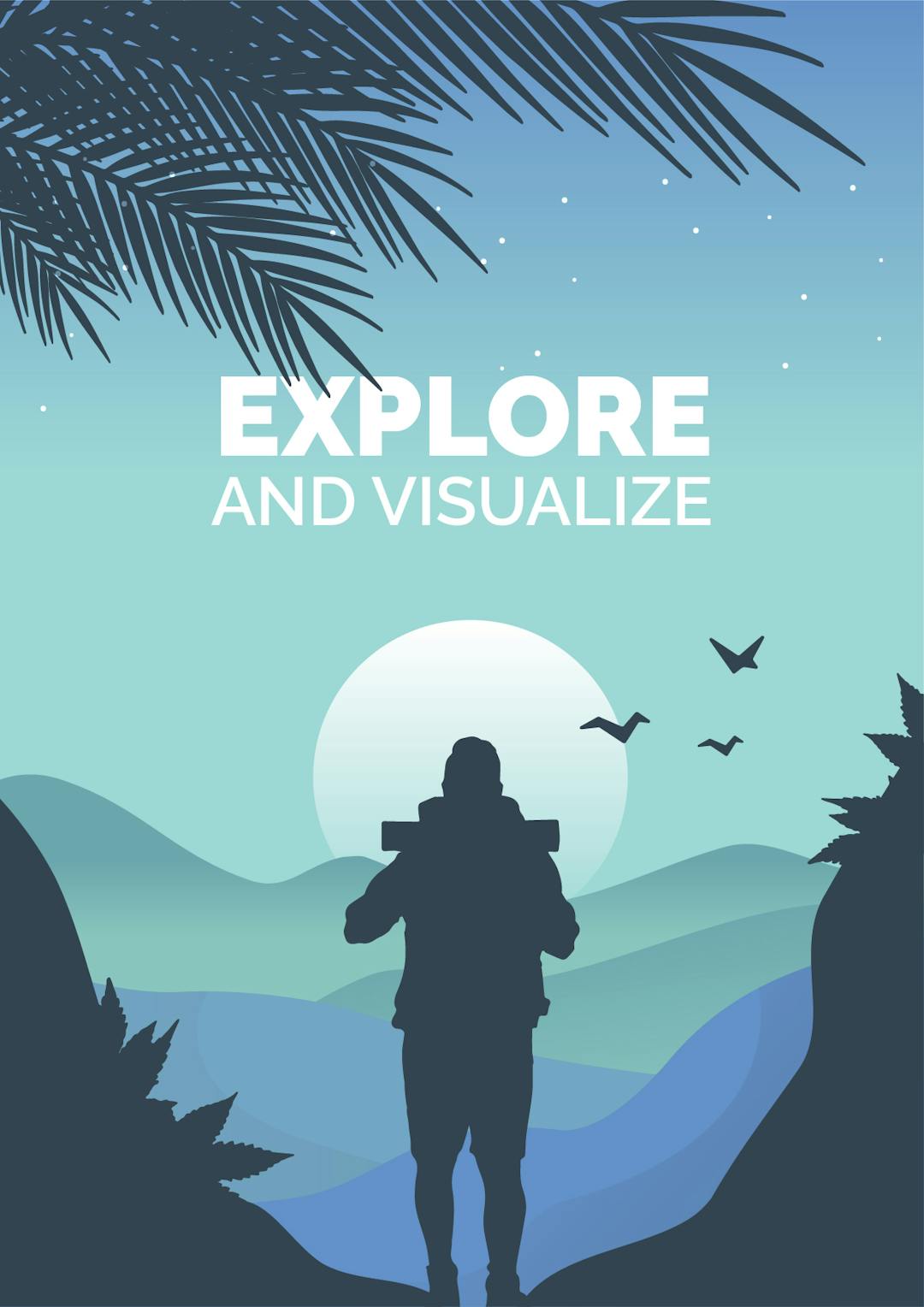

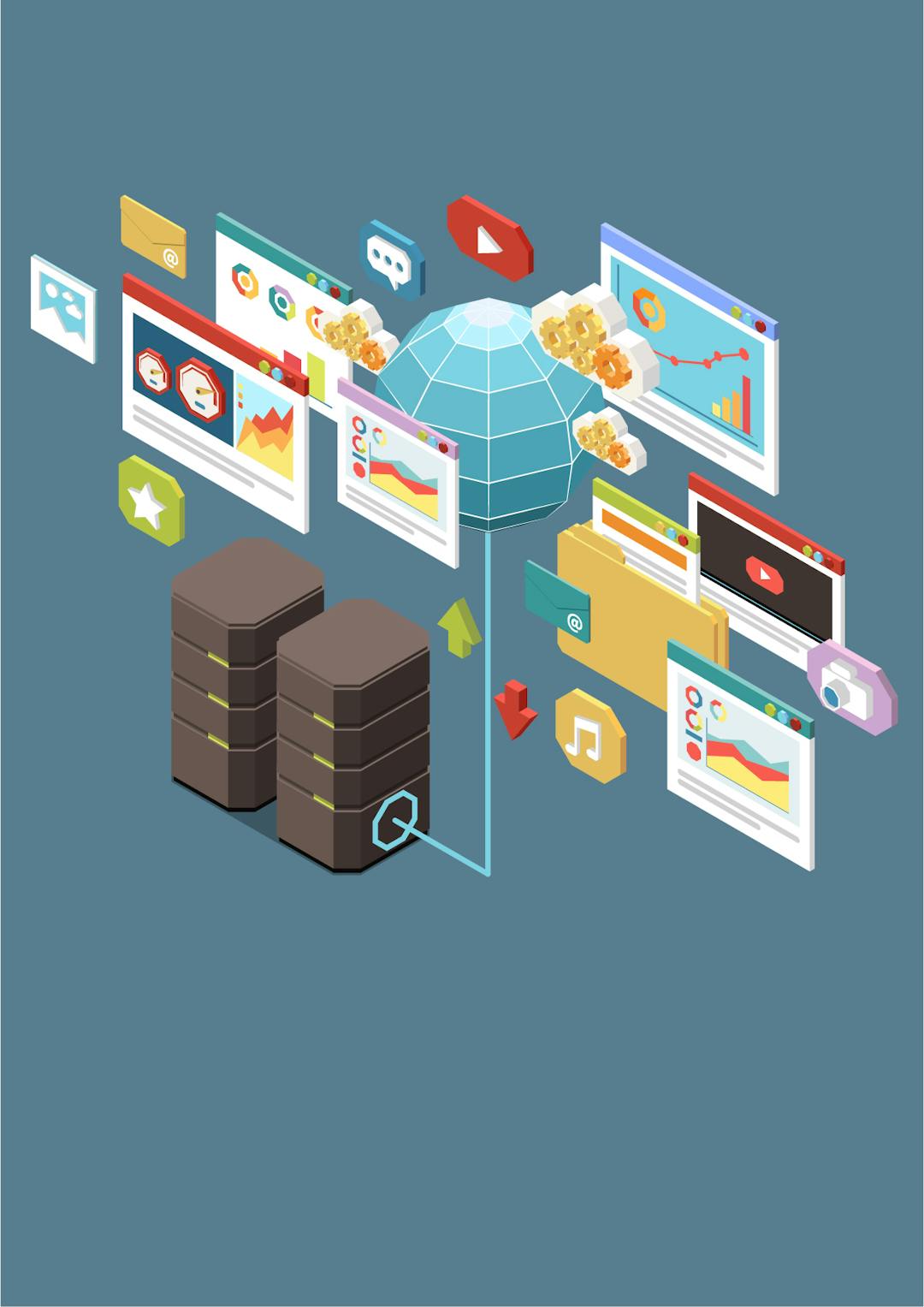
Exploration & Visualization
Imagery & Mapping

Cartography & Design
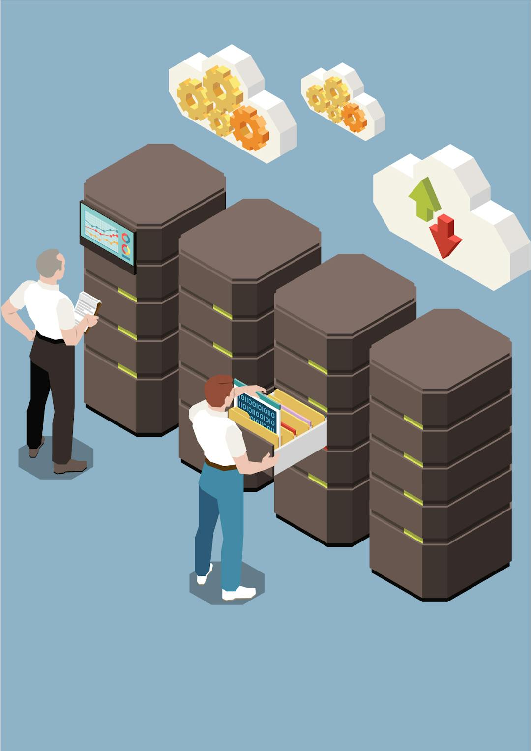
Data Management
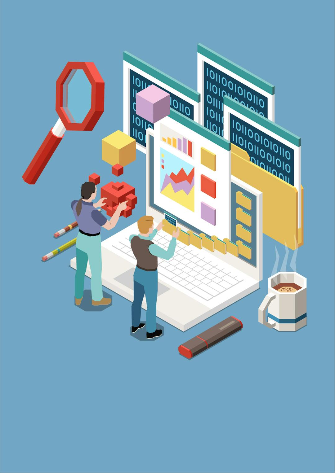
Analytics and Data Science
Customization & Creation
Roger Tomlinson, Father of GIS
“The early days of GIS were very lonely. No-one knew what it meant.”
Combine multiple data sources to make maps that are as smart as they are beautiful. Use scientific data analytical tools on 2D, 3D and 4D data to identify patterns, make predictions, and answer question